
Parish plans are the Land Titles Office records. Consider it the DCDB before the DCDB. The Parishes plans may have a number of sheets depending on size/complexity. The Parish Plans were updated as parcels and roads were created. As the sheet got too crowded a chart would be created. The Parish Sheets are mainly used as one form of index to the Parish Charts. There are some areas where the Parish Plan needs to be viewed.
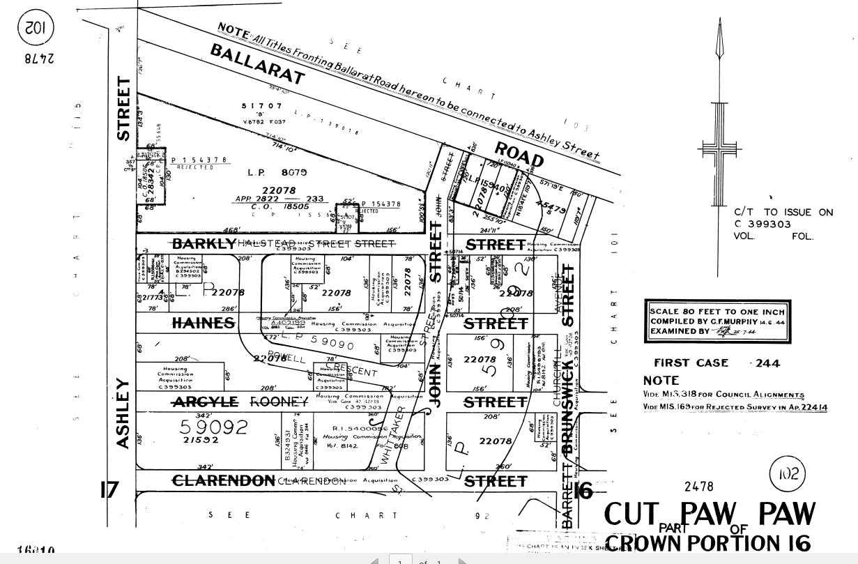
Parish Chart example.
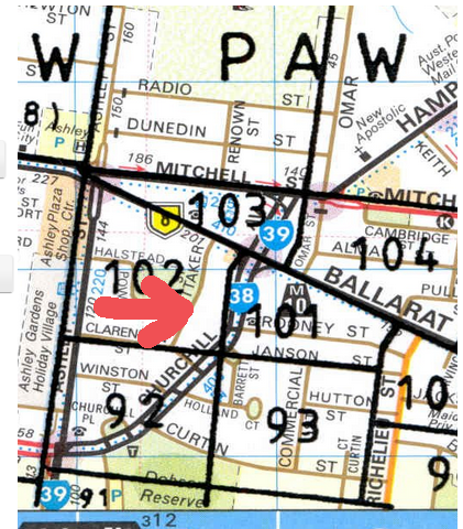
The Parish Charts are indexed using a Melways map. This was done as it was a convenient method to gain an index by street address. i.e. you would look up the street of your job in the Melways index then there was an Over Head Transparency (OHT) that showed the outlines of the Parish Charts on each Melways page.
When these were scanned the bluetac that held the OHT's to the various pages heated up and slipped. Always look at the alignment of major features such as railways and rivers to see if the OHT is a little off centre and compensate when you read off the Parish Chart number.
You may need to retrieve a Parish sheet and you can find the sheet number where there isn't a chart number. For example.
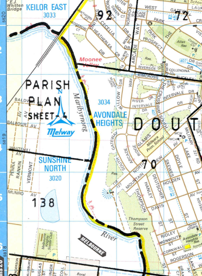
Note that above the area of chart 138 it states Parish plan Sheet 4.
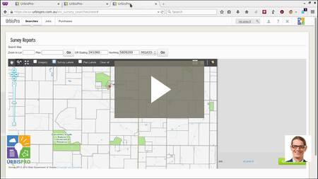
Parish plans are accessible from the Survey Reports map. We will give you a hyperlink to the right of the map.
Video of how to use the Dye Durham Terrain Parish charts -
Comments
0 comments
Please sign in to leave a comment.